2D/3D Equirectangular Photography

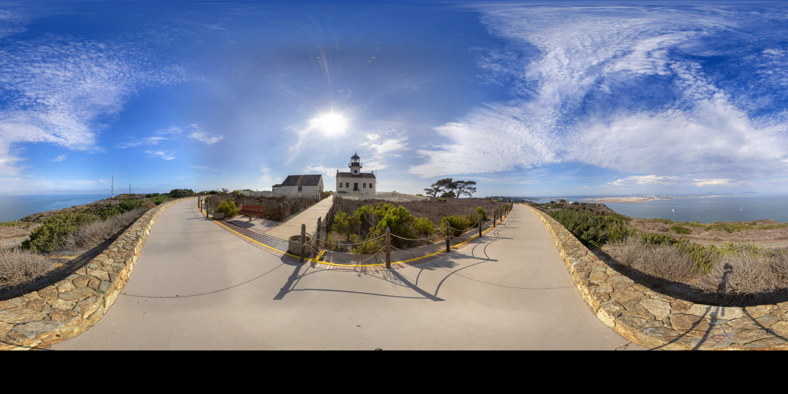
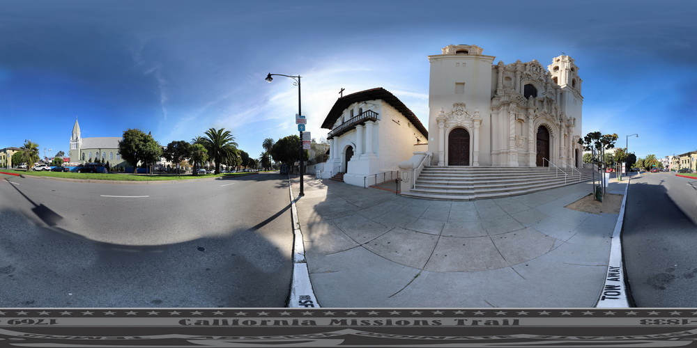
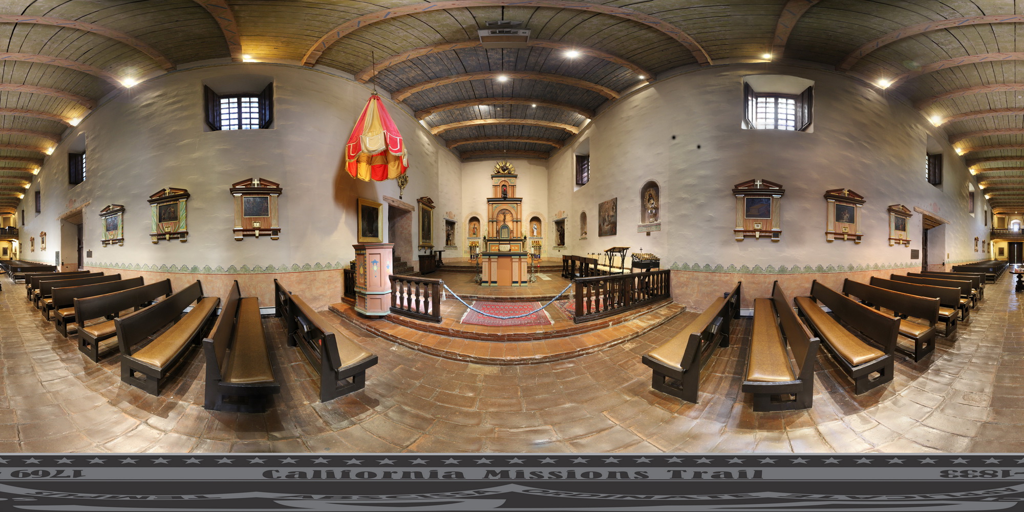
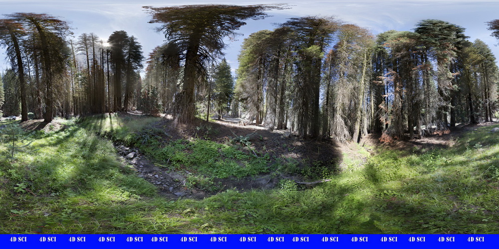
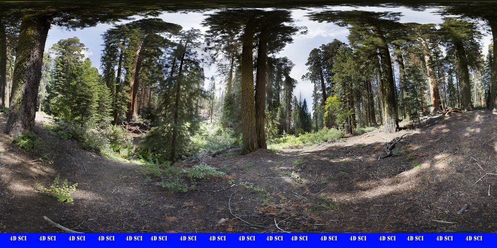
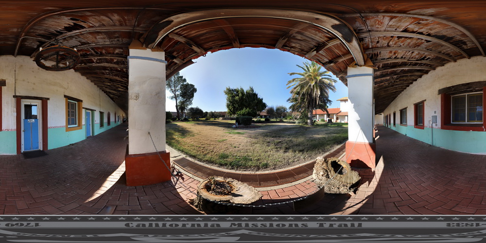
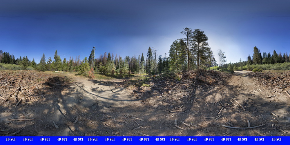
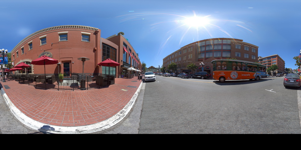
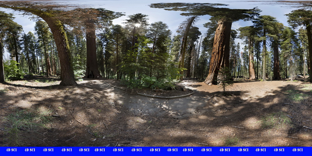
A question frequently asked is: How does UHR-Equirectangular Photography differ from the stuff Google does with Google Maps? The simple answer is: It does not differ other than resolution, intent, use and equipment. Both systems employ 360×360 degree images to create a virtual experience. Google, however, does the imagery in massive volume and on an unprecedented scale designed to recreate a virtual visual map of the roads, paths and locations of the planet.

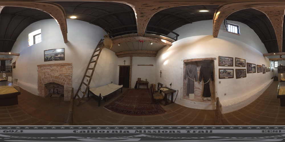
4D Location Services employs similar equipment with the intent of capturing highly detailed images of locations, buildings, events, and environments intended for research, education, historical preservation, and remote exploration.

To see the difference click here to view the UDR-E Imagery page

This is a low resolution version of the image in Equirectangular format

Use your mouse on the image above to rotate it in all 360 degrees.
This is displayed in 8k quality, 1/5th of the full file detail


Click below to see some of our recent projects

As technology continues to advance at a rapid pace, the field of architecture has not been left behind. With the
The concept of Artificial Intelligence (AI) and Virtual Reality (VR) may seem like two separate technologies, each with their own
Step into the classroom of tomorrow, where textbooks come to life, history is no longer confined to pages, and imagination
First thing you notice when you look at a Equirectangular image is that it is distorted. That is because it
When talking about VR Images resolution really matters. While a user in VR is only looking at a small portion
Video quality is dependent upon your settings. You must make sure to select 4k under the Youtube settings icon.
In the California desert east of LA sits the amazing WhiteHorse Movie Ranch. Take a look around this amazing facility.
In the California Sierra Nevada Mountains, above 5000ft, Bark Beatles are destroying a huge percentage of the trees and causing
The 21 California Mission Run up the West Coast from San Diego to North of San Francisco. For hundreds of

Need help with a custom image, video, or educational product? Contact 4D Location Services today.