A question frequently asked is: How does UHR-Equirectangular Photography differ from the stuff Google does with Google Maps? The simple answer is: It does not differ other than resolution, intent, use and equipment. Both systems employ 360×360 degree images to create a virtual experience. Google, however, does the imagery in massive volume and on an unprecedented scale designed to recreate a virtual visual map of the roads, paths and locations of the planet.
4D Location Services employs similar equipment with the intent of capturing highly detailed images of locations, buildings, events, and environments intended for research, education, historical preservation, and remote exploration.
To see the difference click here to view the UDR-E Imagery page

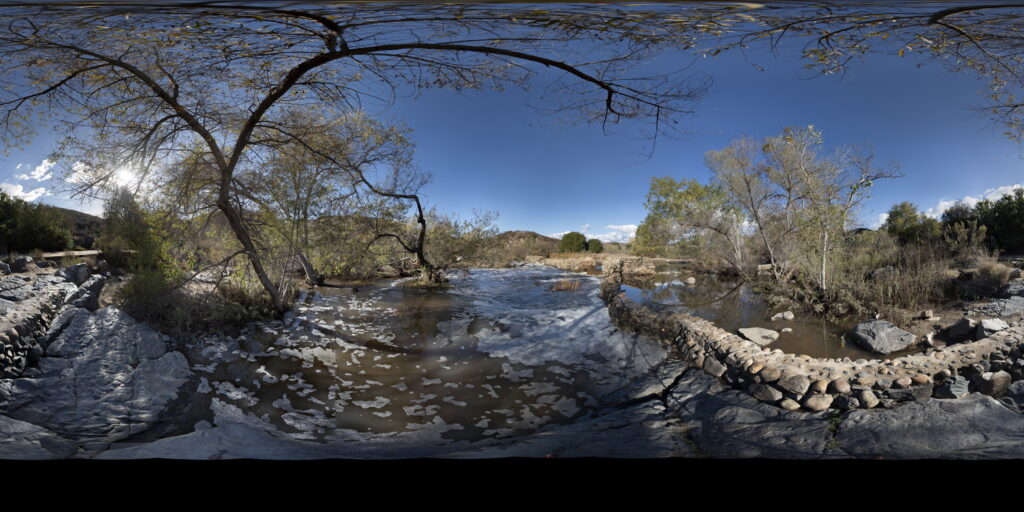
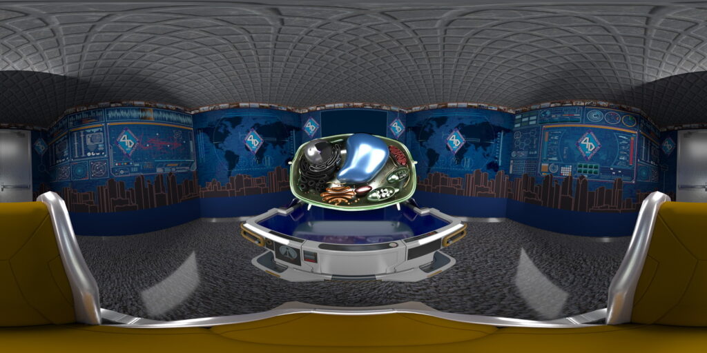
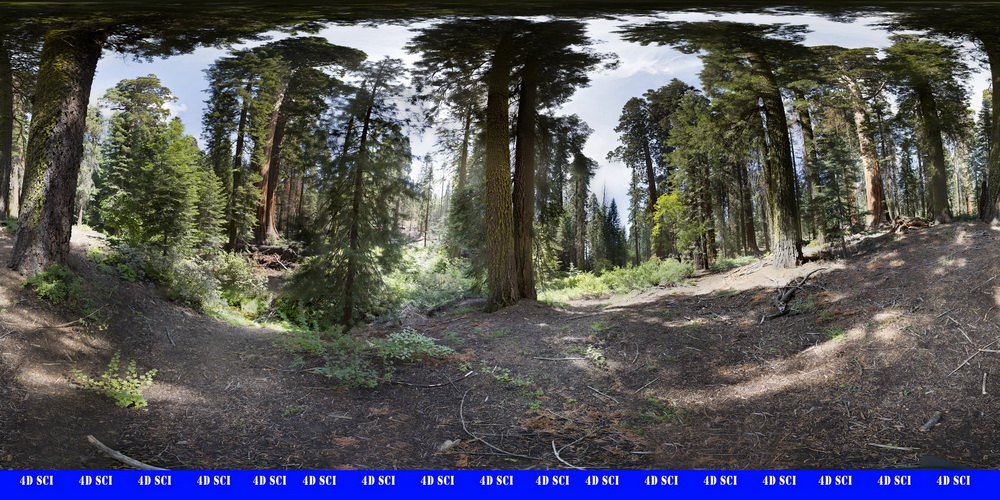
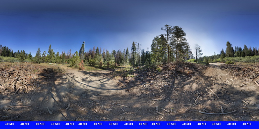
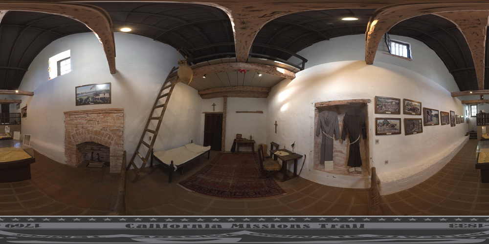
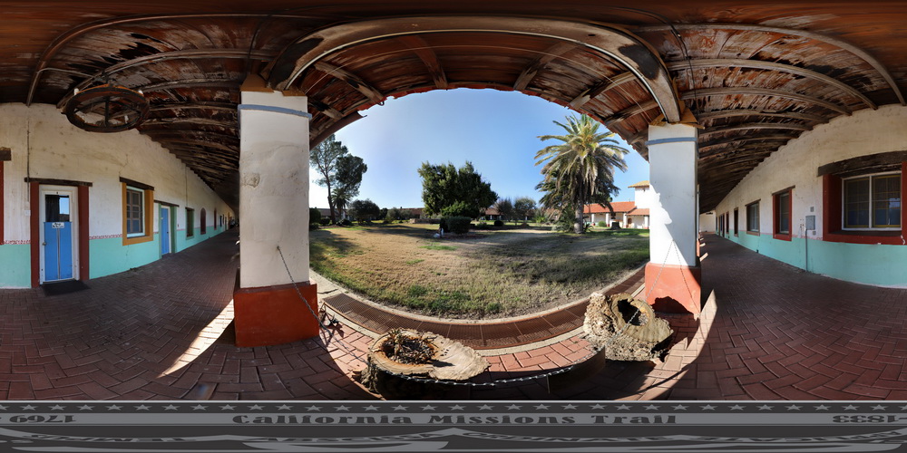
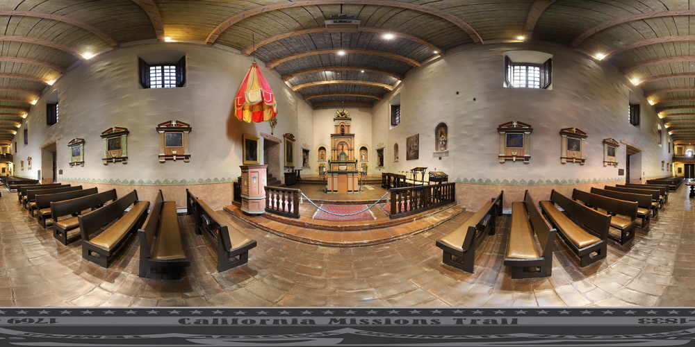
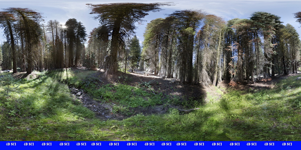
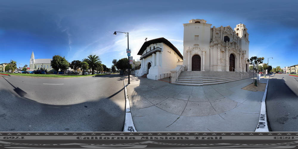
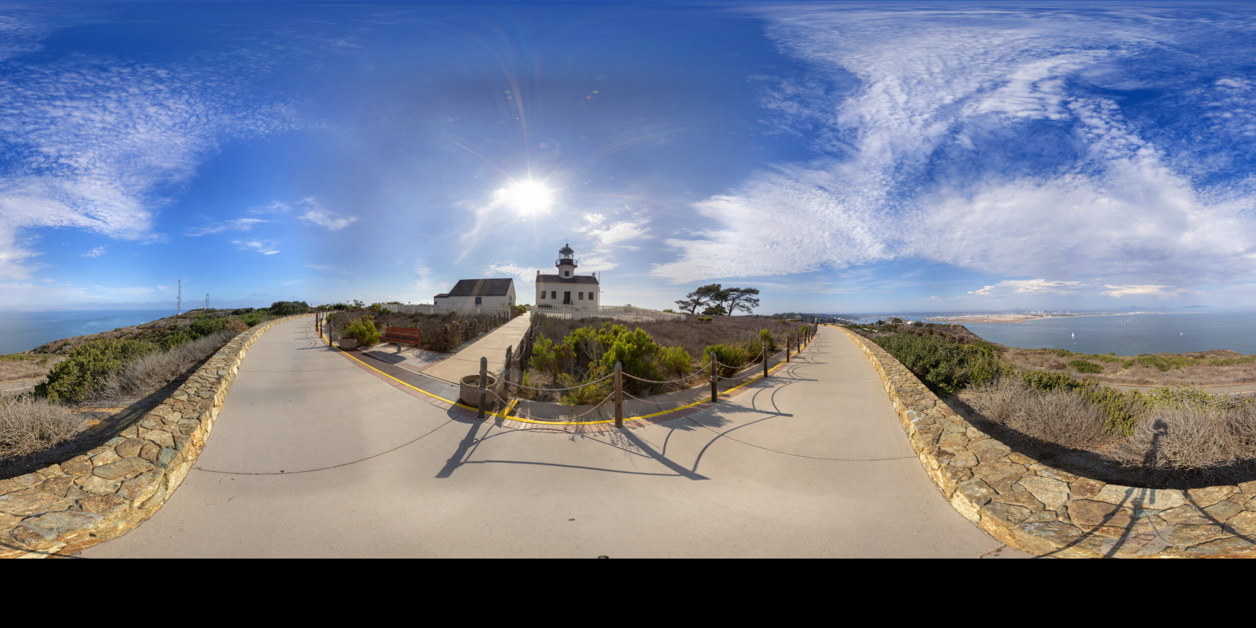
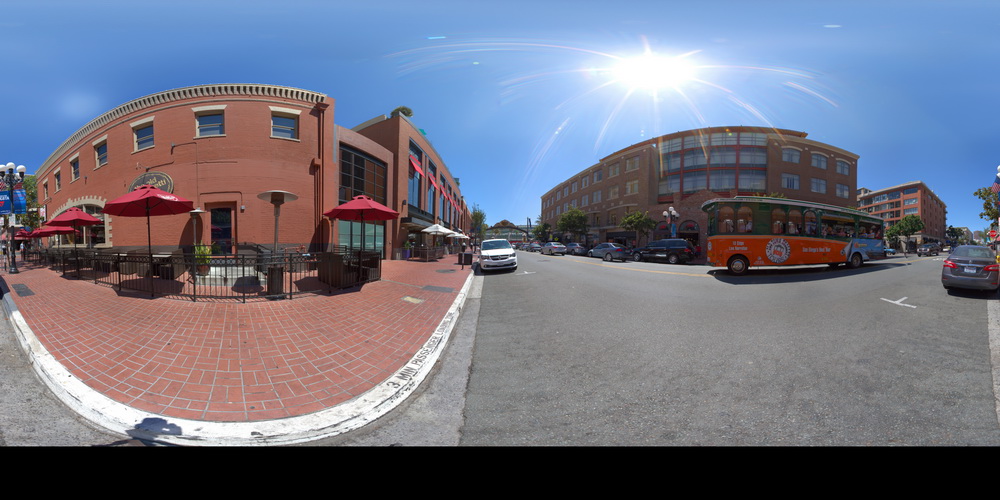
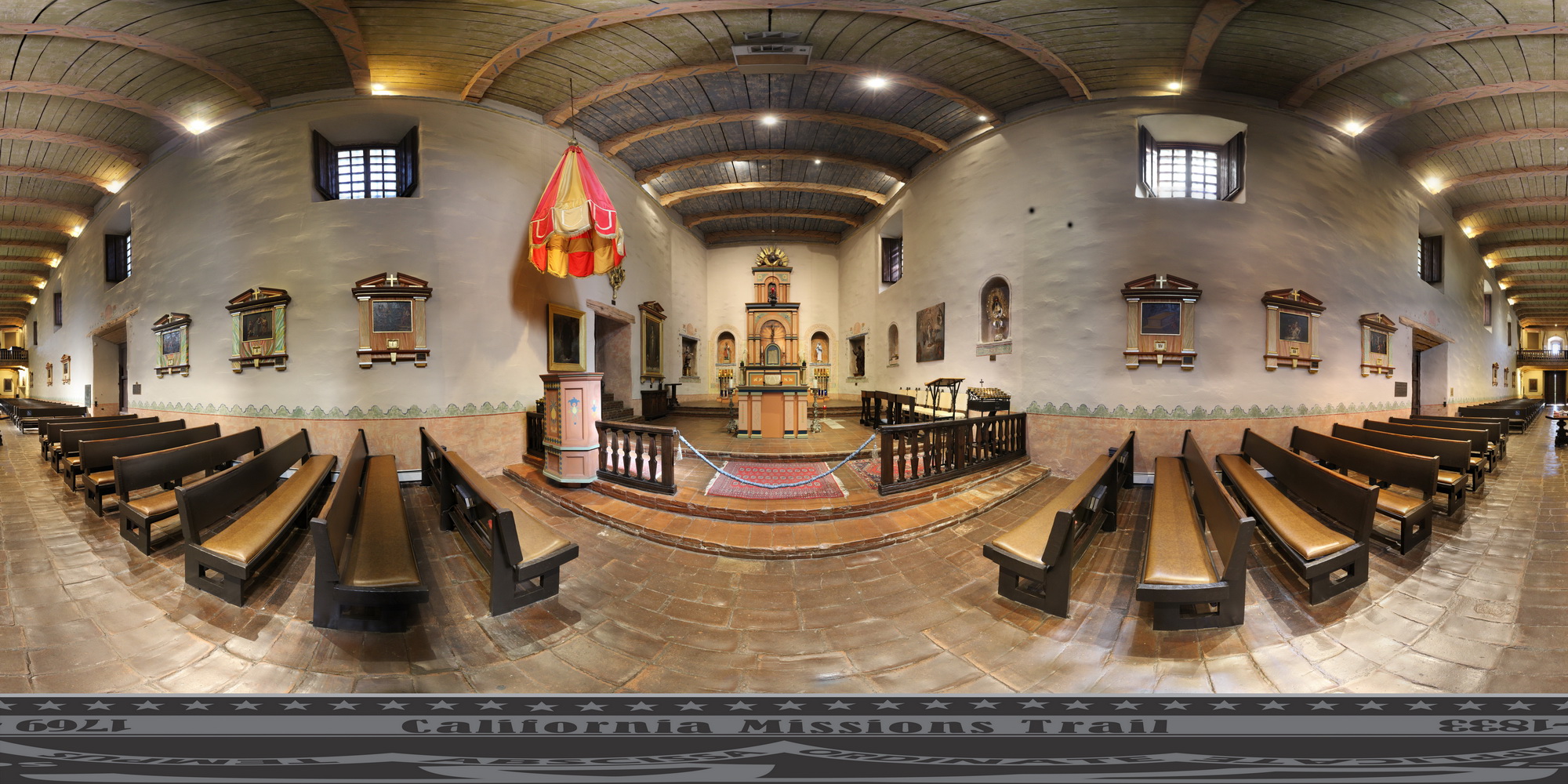
Use your mouse on the image above to rotate it in all 360 degrees.
This is displayed in 8k quality, 1/5th of the full file detail


Click below to see some of our recent projects